Navigation
DISCLAIMER:
The nowcast/forecast system and other analyses/data are research
products under development. No warranty is made, expressed or implied,
regarding accuracy, or regarding the suitability for any particular application. All rights reserved University of South Florida, Ocean Circulation Lab.
Copyright University of South Florida 2010
· West Florida Coastal Ocean Model (WFCOM) Nowcast/Forecast
· Tampa Bay Coastal Ocean Model (TBCOM) Nowcast/Forecast
· East Florida Coastal Ocean Model (EFCOM) Nowcast/Forecast New!
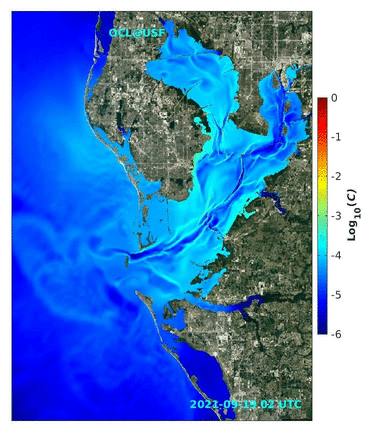
· Red tide tracking for West Florida Shelf & Tampa Bay
· Sargassum tracking for Gulf of America, the Straits and East Coast of Florida
· Water level (storm surge) forecast guidance
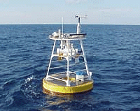
· Subsurface Temperature Monitoring for Hurricane Intensification Forecasts Real Time!
· Forecast winds: NOAA NCEP NAM
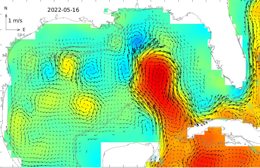
· Gulf of America Loop Currents:
Altimetry-derived,
Global HYCOM
· Daily SST:
Gulf of America,
U.S. Southeast Coastal Ocean
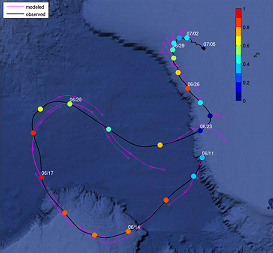
· Virtual drifter trajectories based on altimetry-derived geostrophic currents
-
OCL on the News:
- • USF oceanographers rush to maintain hurricane forecasts after fire rips through marine lab (Fox Weather, 6/9/2026) New!
- • After devastating fire, USF marine scientists race to keep ocean monitoring on track (USF/CMS News, 6/2/2026)
- • Sargassum swirling in the Gulf. Forecast in for Fort Myers, Naples (The News-Press, 5/1/2026)
- • Student research on display at the Graduate Student Symposium (USF/CMS News, 1/23/2026)
- • Public-private partnership tackles seafloor mapping challenge (USF/CMS News, 11/19/2025)
- • Why Hurricanes Ian and Idalia exploded overnight - It wasn't just warm water (Tampa Bay 28 News, 9/4/2025)
More in News Archive
Motivated scholars are welcome to apply for our postdoc position (Job Identification: 43440) .